How to Check Utilities Before Buying Vacant Land
Utility availability can dramatically affect whether vacant land is practical and affordable to develop. Here is what buyers should investigate.
Paste a Google Maps URL, address, or coordinates. Explore the location on an interactive map, watch ZIZPER process the area, then continue into the full AI investment report.
Run the interactive analysis to preview the experience.
These are quick-start examples. The search and map support locations worldwide.
Designed to combine location intelligence from
ZIZPER transforms scattered map, neighborhood, and investment signals into a structured report that helps users decide what deserves deeper due diligence.
Analyze nearby amenities, accessibility, road networks, neighborhood density, environmental signals, and surrounding land use from one location.
Turn location data into practical investment guidance, including growth potential, expected use cases, ROI scenarios, and buyer or renter suitability.
Save locations, organize opportunities, compare multiple sites, add notes, and build watchlists with alerts from one visual workspace.
A simple three-step workflow created for investors, buyers, agents, developers, and property consultants.
Paste a Google Maps URL, type an address, enter coordinates, or select a point directly on the interactive map.
ZIZPER evaluates accessibility, amenities, surrounding environment, demand indicators, risk factors, and possible use cases.
Receive a structured report, save it to your portfolio, compare it with other locations, and add it to a watchlist.
ZIZPER is designed to evaluate opportunities independently before users contact a seller, agent, or developer.
Property marketplaces answer “What is for sale?” ZIZPER helps answer “Does this location make sense?” By combining location intelligence, AI-driven insights, and market-specific data, ZIZPER helps investors evaluate opportunities more confidently across different markets worldwide.
Evaluate a location without relying only on sales descriptions or listing advertisements.
Designed to combine mapping, listings, public datasets, satellite imagery, and user-supplied information.
Analyze property locations across markets worldwide with a flexible intelligence platform designed to adapt to local data sources, market conditions, regulations, and investment environments.
Save reports, compare sites, organize portfolios, attach notes and tags, and monitor selected locations.
This preview uses established public location context. ZIZPER calculates investment scores, nearby-place counts, risk indicators, and recommendations only when a user runs a live analysis.
Choose the level of property intelligence that matches how you research—from occasional location screening to professional client and investment workflows.
Free gives you the core ZIZPER research experience. Investor unlocks the complete individual-investor toolkit. Professional adds higher limits, advanced intelligence, priority processing, and commercial use.
AI report and workspace limits reset according to your active billing cycle. ZIZPER is a decision-support platform and does not replace professional due diligence.
Each paid tier unlocks a deeper research workflow—not simply a larger monthly quota.
Screen locations, save a small number of opportunities, compare two locations, and experience ZIZPER before committing to a paid plan.
Unlock financial analysis, full Market Insights, AI Advisor access, PDF export, larger portfolios, and multi-location comparison for active investing.
Scale research across client and business workflows with advanced intelligence, priority processing, higher limits, and commercial-use rights.
See the main differences between Free, Investor, and Professional at a glance.
| Capability | Free | Investor | Professional |
|---|---|---|---|
| AI Location Reports | 3 / month | 50 / month | 200 / month |
| Saved Places | 3 | 50 | 200 |
| Portfolio Assets | 3 | 50 | 200 |
| Smart Alerts | 2 | 20 | 100 |
| Compare Locations | Up to 2 | Up to 5 | Up to 10 |
| Market Insights | Limited | Full | Advanced |
| Financial Analysis | — | Included | Included |
| Financial History | — | Included | Included |
| AI Investment Advisor | Limited | Full | Advanced |
| PDF Report Export | — | Included | Included |
| Priority AI Processing | — | — | Included |
| Commercial Use | — | — | Included |
Quick answers about limits, billing, upgrades, and the difference between individual and professional use.
Yes. The Free plan includes 3 AI location reports per month plus core research tools, so you can evaluate the workflow before upgrading. No credit card is required to start.
You can wait for the next monthly usage cycle or upgrade to a plan with a higher report allowance. Extra report credit packs can also be introduced as an add-on without changing your main plan.
Investor is designed for individual property research. Professional adds substantially higher limits, advanced AI and market intelligence, priority processing, and commercial-use rights for client or business workflows.
Yearly billing is paid once per year and saves about 20% compared with paying month to month. Investor is $278 per year and Professional is $758 per year.
Yes. Subscription billing is managed through the existing Stripe billing system, where eligible customers can manage upgrades, billing details, invoices, and cancellation.
See how investors, buyers, advisors, and property professionals across different markets can use ZIZPER to support location research and early-stage due diligence.
Learn how to evaluate locations, understand investment signals, identify potential risks, and uncover the factors that can influence long-term property value.
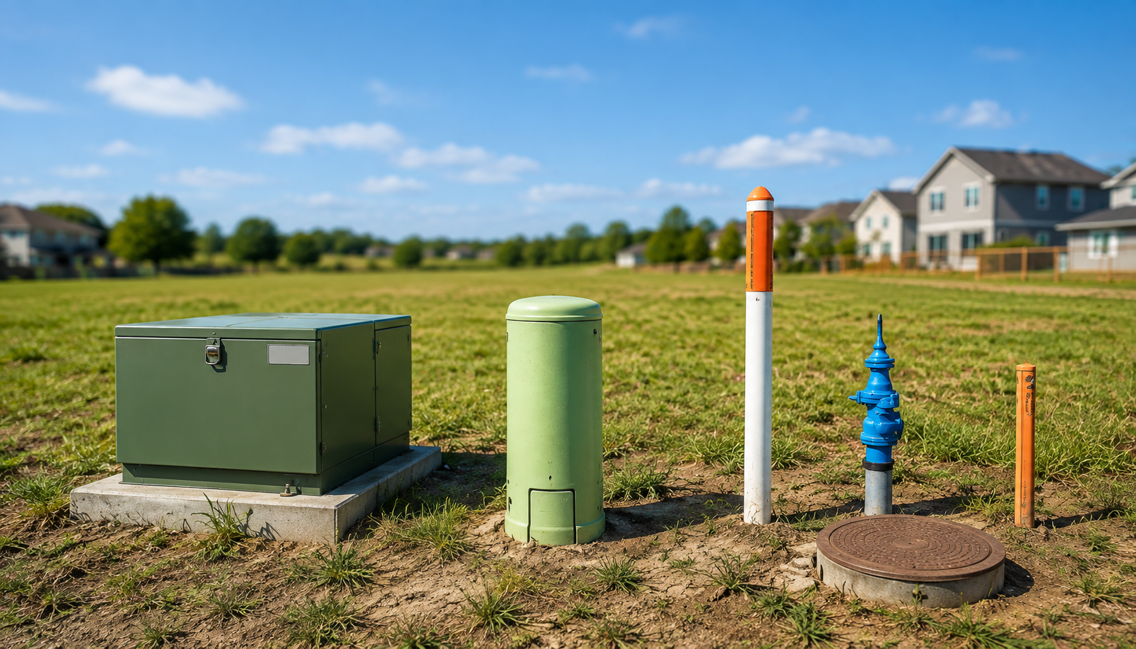
Utility availability can dramatically affect whether vacant land is practical and affordable to develop. Here is what buyers should investigate.
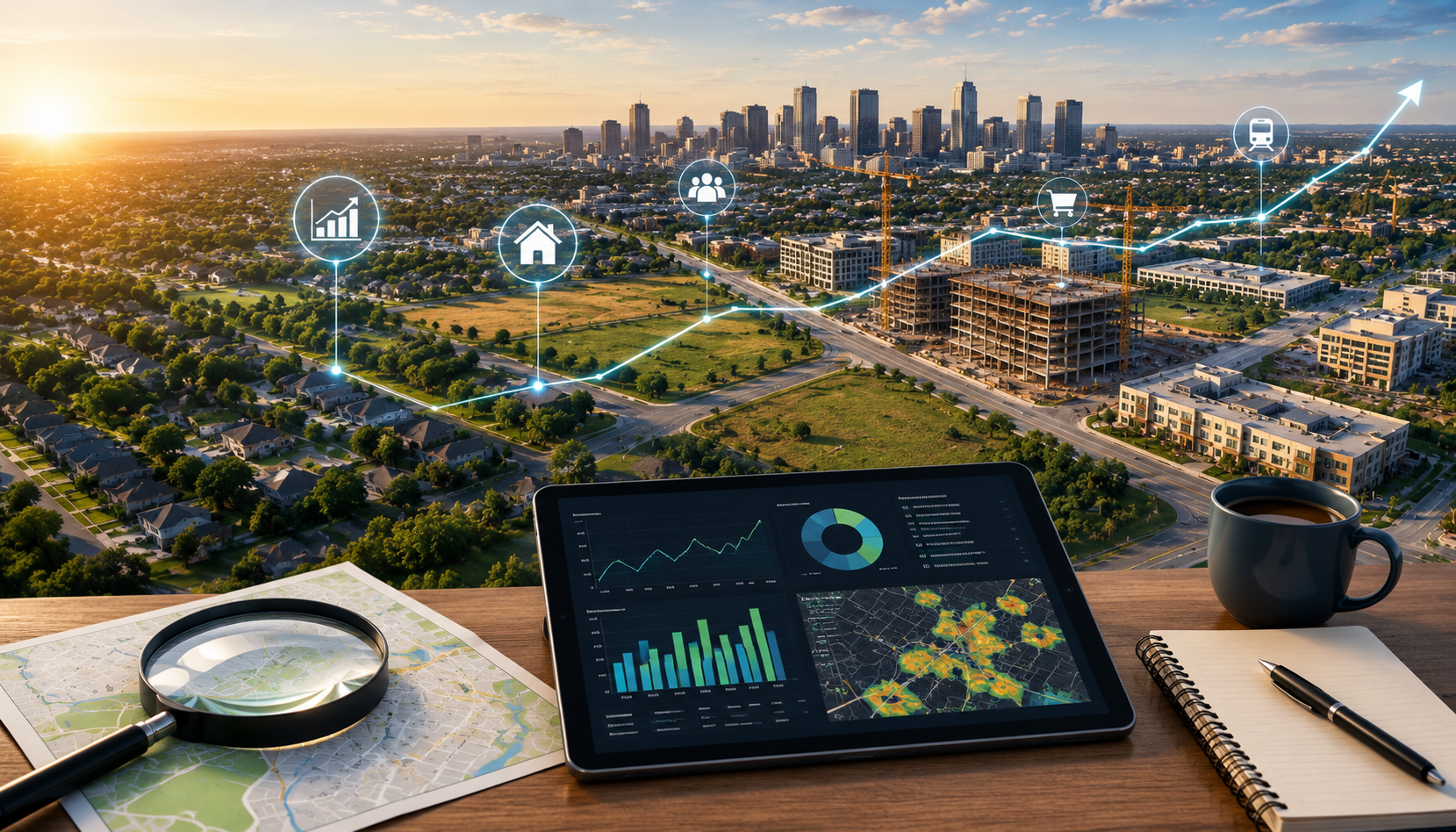
Learn how infrastructure, employment, population, development activity, planning, and investment can provide clues about an area's growth potential.
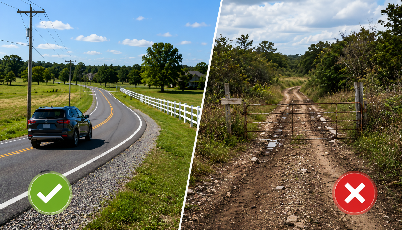
Road access can affect usability, construction, financing, emergency services, development costs, and resale potential.

Learn how schools, hospitals, retail, transportation, parks, and employment centers can influence different buyer and renter groups.

Property marketplaces help investors discover listings. Location intelligence platforms can help investors evaluate whether a location fits their investment strategy.

Use this preliminary due diligence framework to investigate ownership, access, zoning, utilities, environmental conditions, taxes, and development constraints.
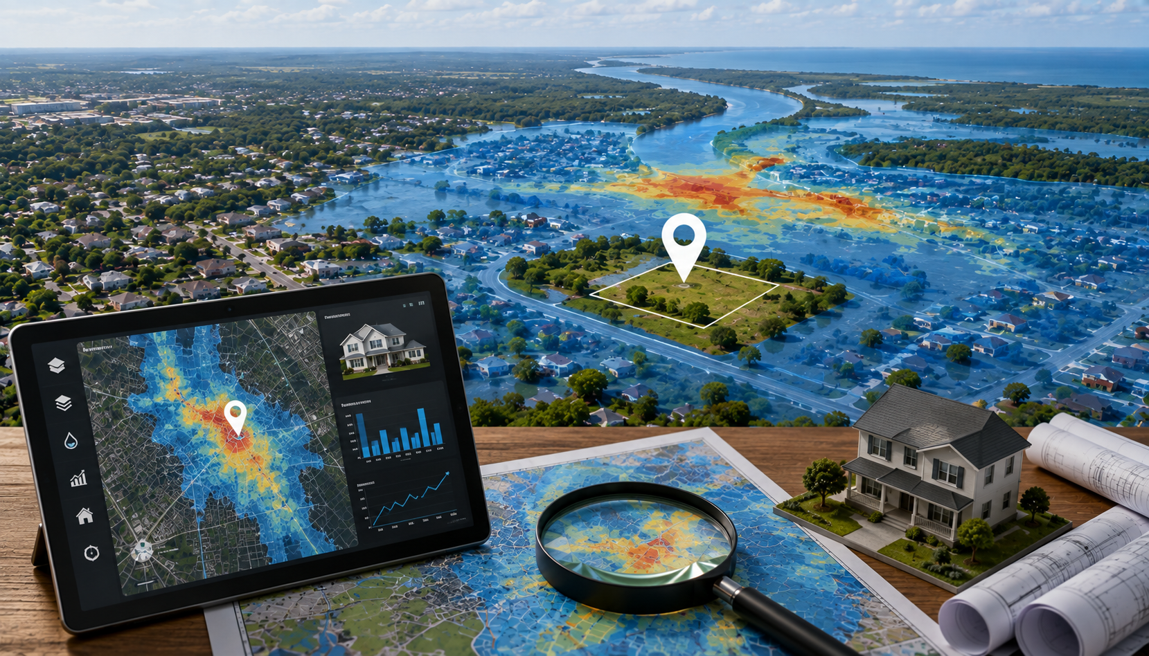
Flood exposure can affect development, insurance, financing, maintenance, and resale decisions. Learn what investors should investigate before buying.

Zoning can determine what you can build, how densely you can develop, and whether your intended use is permitted.
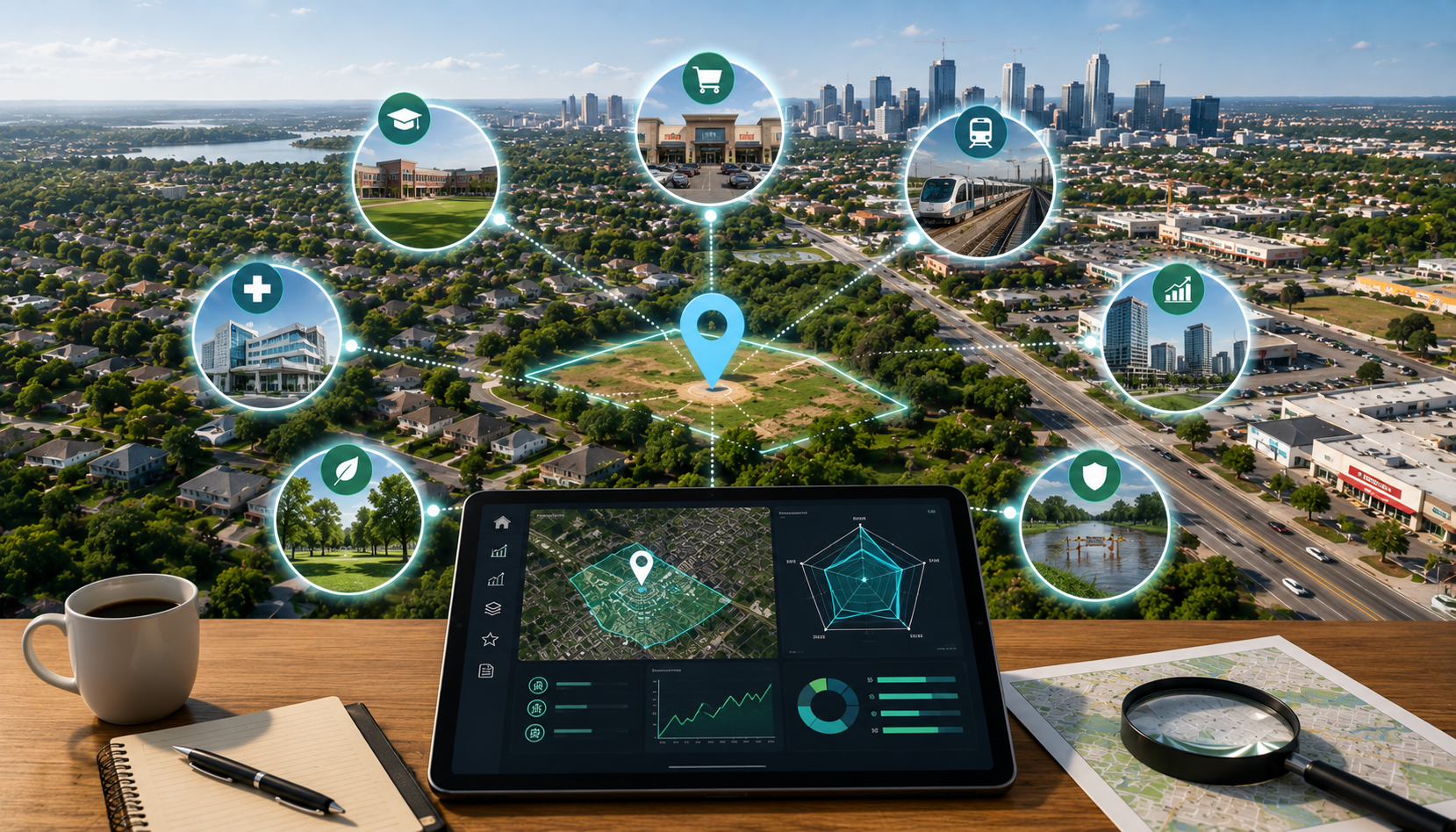
A property location analysis should consider more than neighborhood reputation. Here are ten factors investors can investigate before making a decision.

AI property analysis can help organize location data, identify risk signals, compare areas, and make preliminary property research more efficient.
Paste a location, generate a structured report, compare opportunities, and build your personal property research workspace.